Links | Fluate.net
Tag cloud
Picture wall
Are.na
Search
RSS feeds
RSS Feed
ATOM Feed
Links per page
20 links
50 links
100 links
Search
Filter by tag
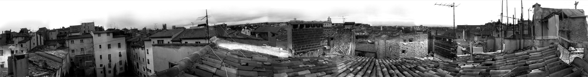
Rue Saint Ursule, Montpellier, France (2000)
Sorry... We found nothing.
2242 links
RSS Feed